Marmaris National Park Orienteering Experience
About the experience
Route Finding with Map and Compass in Marmaris National Park
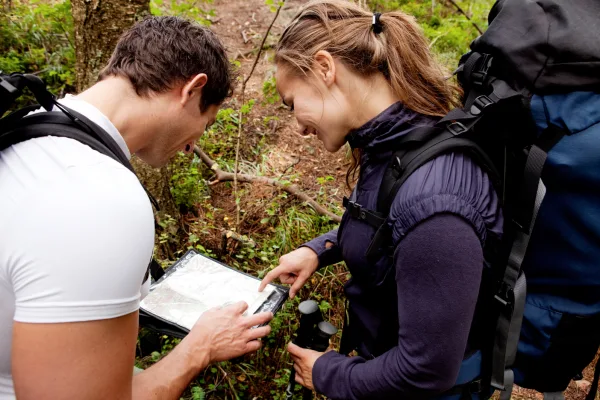
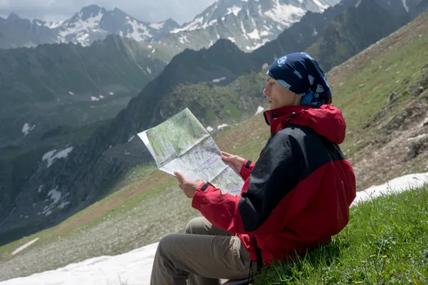
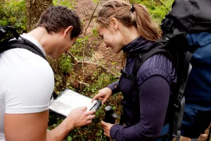
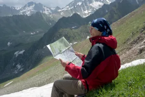
Orienteering is a sport that involves finding control points spread across the terrain in the correct order using the detailed map and compass in your hand. Marmaris National Park offers a readable terrain for those who are new to this sport. The cover formed by pine and sığla trees thins out in places, and hills overlooking the bays and the sea become visible through the clearings, making it easier to match the shapes on the map with the actual terrain. Our guided program can be planned as a half-day or full-day activity. At the beginning, you will learn the meaning of map colors in a short outdoor lesson: green tones indicate the density of vegetation, brown lines indicate contour lines, and blue indicates water sources. Then, you will practice aligning the compass with the map, finding north, and moving steadily in the direction you choose. Our guide will ensure that everyone understands these initial steps at their own pace.
Character of the Terrain, Control Points, and Difficulty Options
The terrain of Marmaris National Park is varied: some sections have gentle ridges and wide forest roads, while others have short but steep slopes. The network of trails is dense in this belt where the Mediterranean and Aegean climates meet, so deciding which trail to leave and when is the most enjoyable part of the activity. Each control point on the terrain is marked with an orange-white control flag. When you reach the flag, you touch the SI card reader next to it; the system records your passage time, so you can see how much time you spent on each leg at the end of the course. We prepare three different difficulty levels. The beginner course largely follows trails and road sides, suitable for families and children. The medium level directs you between ridges. The advanced level requires you to pass through the forest relying on your compass. Since you are progressing with a guide, you do not need to worry about getting lost; gathering points and time limits are shared from the beginning.
What to Bring, Who Can Participate
We recommend that you have a closed hiking shoe with a non-slip sole, at least one liter of water, a thin hat, and sunscreen with you. A long pant that protects your legs will make your job easier in thorny areas. The map, compass, and SI card are provided by us. The half-day program takes approximately three hours, and the full-day program takes six hours, including breaks and a picnic. Children over the age of eight can participate with an adult; friend groups can prefer to compete in teams of two. The national park is a protected area: we do not pick flowers, do not light fires, carry all the waste we produce back, and proceed without disturbing the wildlife. If you want to be friends with the map in the pine-scented hills of Marmaris, you can choose a suitable date and create your registration immediately.
📷 Fotoğraf Galerisi
3 Fotoğraf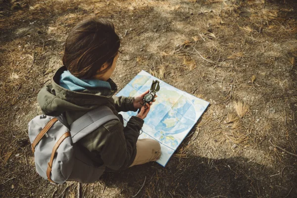
What's included & not included
Included
- Expert guide
- Orienteering map
- Compass & control card
- Starting briefing
- Safety supervision
Not included
- Transport
- Food and drinks
- Personal equipment (proper shoes, water)
- National park entrance fee (if any)
Activity location
Just arrive 20 min before your booking.
Cancellation and Refund Terms
Under Article 15(g) of Law No. 6502 on Consumer Protection and the Distance Contracts Regulation, there is no statutory right of withdrawal or cancellation for sports, entertainment, leisure and activity services that must be provided on a specific date or period.
Reviews
No reviews yet for this listing. Be the first to leave one!