Erciyes Orienteering Experience
About the experience
Orienteering in Volcanic Terrain at Erciyes
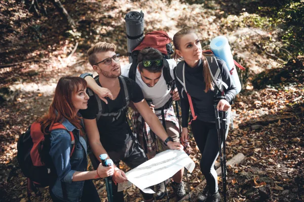
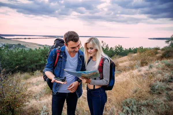
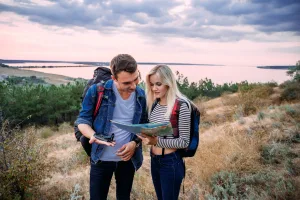
Erciyes, rising above Kayseri, offers one of the most unique terrains for orienteering in Turkey. The lava flows left by its volcanic past, small crater holes, surfaces covered with sand and large stones, the sparse vegetation on the plateau, and the almost unobstructed view make this place completely different from forest parks. The high-altitude plateau has an open horizon, so the symbols for hills and depressions on the map can be directly verified with the eye, which is a great advantage for beginners. We start our guided program with a short classroom session: the north of the map, what the contour lines tell us, how to distinguish between a ridge and a valley on the map, and the logic of taking a bearing using the compass dial. In a terrain like Erciyes, where the contours tell a lot, this information becomes useful immediately; participants usually start reading the terrain shape within the first hour.
Control Point Logic and Course Options
Each control point has an orange-white flag and an electronic unit; you record your passage by reading your SI card in the unit. At the end of the day, we review these records on the screen together and discuss your route choices. We offer three levels of difficulty at Erciyes. The beginner course follows the wide service roads and distinct stone piles on the plateau and is short in distance. The intermediate course teaches going straight with a compass between small depressions and lava ridges. The advanced course requires route choice and pace management on stony ground. Half-day is about three hours, and full-day is six hours, including breaks. In the summer, the plateau is cool and ideal for running; however, the weather can change quickly, so our guide never loses sight of the group, everyone carries a whistle, and the meeting point and time are set from the start.
Suitability and Preparation for Families
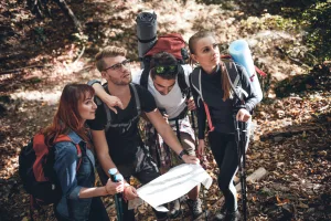
The Erciyes program is open to adults and families with children; those with no experience can easily progress on the beginner course. Families can complete the first round together and then split up for the second round; when children take turns carrying the map and finding controls, their interest lasts throughout the day. Make sure to have hiking boots that protect your ankles and wrists; sports shoes are not sufficient on stony ground. Also, bring at least two liters of water, a windproof jacket, sunglasses, a hat, and high-factor sunscreen, as the sun is much more effective at higher elevations. We provide the map, compass, SI card, and first aid kit. Erciyes is a sensitive mountain ecosystem; we do not disturb the stone piles, do not harm the vegetation, and take our trash with us when we leave. If you want to try reading maps in volcanic terrain, groups are kept small, so book your spot now.
📷 Fotoğraf Galerisi
3 Fotoğraf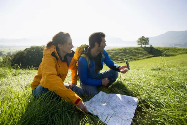
What's included & not included
Included
- Expert guide
- Orienteering map
- Compass & control card
- Starting briefing
- Safety supervision
Not included
- Transport
- Food and drinks
- Personal equipment (proper shoes, water)
- National park entrance fee (if any)
Activity location
Just arrive 20 min before your booking.
Cancellation and Refund Terms
Under Article 15(g) of Law No. 6502 on Consumer Protection and the Distance Contracts Regulation, there is no statutory right of withdrawal or cancellation for sports, entertainment, leisure and activity services that must be provided on a specific date or period.
Reviews
No reviews yet for this listing. Be the first to leave one!